Additional information
| Region | |
|---|---|
| Map Type | Paper, Road |
| Brand |
5.95$
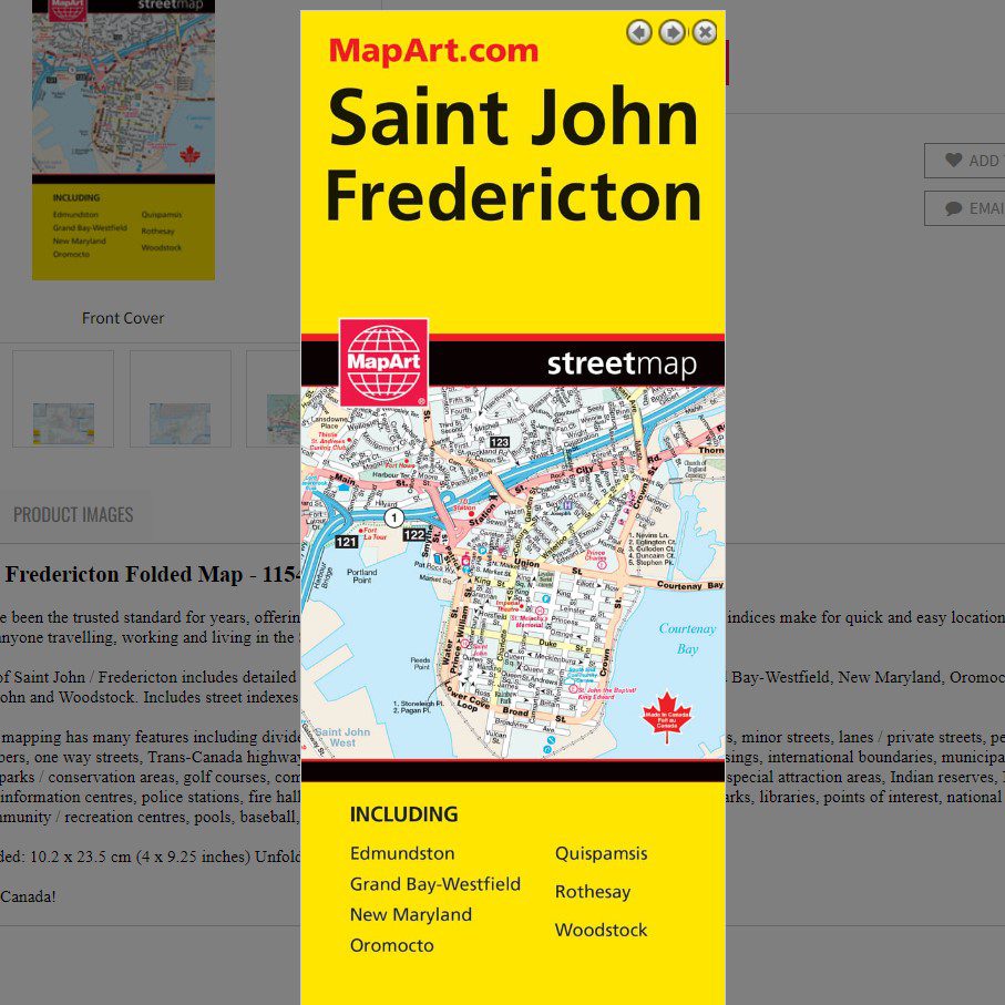
Saint John / Fredericton Folded Map
061158011546
Folded maps have been the trusted standard for years, offering unbeatable accuracy and reliability at a great price. Detailed indices make for quick and easy location of destinations. It’s a must-have for anyone travelling, working and living in the Saint John and Fredericton areas.
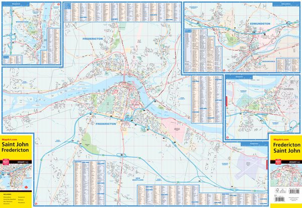
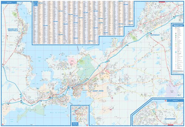
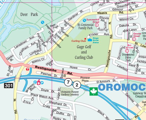
The folded map of Saint John / Fredericton includes detailed city mapping, at 1:25,000, of Edmundston, Fredericton, Grand Bay-Westfield, New Maryland, Oromocto, Quispamsis, Rothesay, Saint John and Woodstock. Includes street indexes of each community and a map legend.
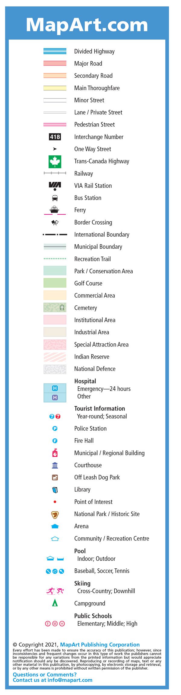
The detailed city mapping has many features including divided highways, major roads, secondary roads, main thoroughfares, minor streets, lanes / private streets, pedestrian streets, interchange numbers, one way streets, Trans-Canada highway, railways, VIA Rail stations, bus stations, ferries, border crossings, international boundaries, municipal boundaries, recreation trails, parks / conservation areas, golf courses, commercial areas, cemeteries, institutional areas, industrial areas, special attraction areas, Indian reserves, National Defence, hospitals, tourist information centres, police stations, fire halls, municipal / regional buildings, courthouses, off leash dog parks, libraries, points of interest, national parks / historic sites, arenas, community / recreation centres, pools, baseball, soccer, tennis, skiing, campgrounds and public schools.
Dimensions:
Folded: 10.2 x 23.5 cm (4 x 9.25 inches)
Unfolded: 68.6 x 99.7 cm (27 x 39.25 inches)
Edition: 2021
Proudly made in Canada!
| Region | |
|---|---|
| Map Type | Paper, Road |
| Brand |