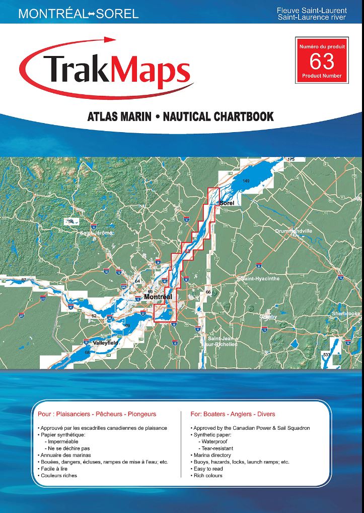
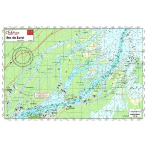
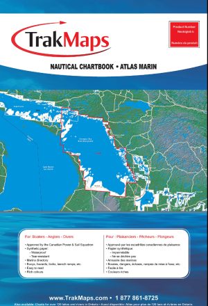
TrakMaps Nautical Chartbook. Printed on waterproof and tear-proof paper at a scale of 1:20,000. Perfect for fishing, boating and ice fishing.
- Bathymetry
- Navigation aids
- Navigation hazards
- Main roads
- Marshes
- Fishing hints
- Marinas
- Marina directory
- Printed on waterproof and tear-proof synthetic paper
Sources
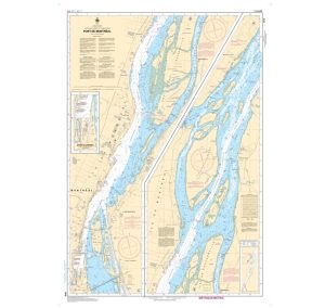
- Canadian Hydrographic Service
- Quebec Ministry of Energy and Natural Resources
- National Oceanic and Atmospheric Administration
- Natural Resources Canada
- Ontario Ministry of Natural Resources and Forestry
- National Geospatial-Intelligence Agency
- TrakMaps
This TrakMaps Nautical Chartbook does not contain data from all sources listed above. Other sources may also be used.
Shop our nautical instruments to complete your planning tools.