Saint Maurice River North: La Tuque to Shawinigan #59 – TrakMaps Nautical Chartbook

39.99$

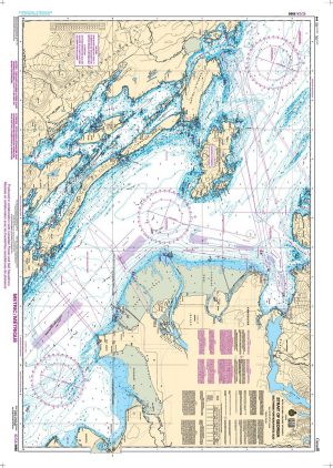
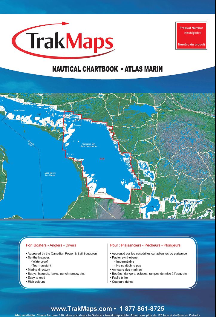
TrakMaps Nautical Chartbook. Printed on waterproof and tear-proof paper at a scale of 1:20,000. Perfect for fishing, boating and ice fishing.

  • Bathymetry
  • Navigation aids
  • Navigation hazards
  • Main roads
  • Marshes
  • Fishing hints
  • Marinas
  • Marina directory
  • Printed on waterproof and tear-proof synthetic paper
Sources
  • Canadian Hydrographic Service
  • Quebec Ministry of Energy and Natural Resources
  • National Oceanic and Atmospheric Administration
  • Natural Resources Canada
  • Ontario Ministry of Natural Resources and Forestry
  • National Geospatial-Intelligence Agency
  • TrakMaps

This TrakMaps Nautical Chartbook does not contain data from all sources listed above. Other sources may also be used.

Shop our nautical instruments to complete your planning tools.

Additional information

Brand