Additional information
| Region | |
|---|---|
| Map Type | Paper, Road |
| Brand |

7.95$
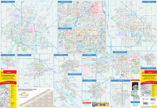
Saskatchewan Folded Map
066770206790
Folded maps have been the trusted standard for years, offering unbeatable accuracy and reliability at a great price. Detailed indices make for quick and easy location of destinations. It’s a must-have for anyone travelling, working and living in Saskatchewan.
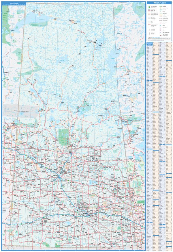
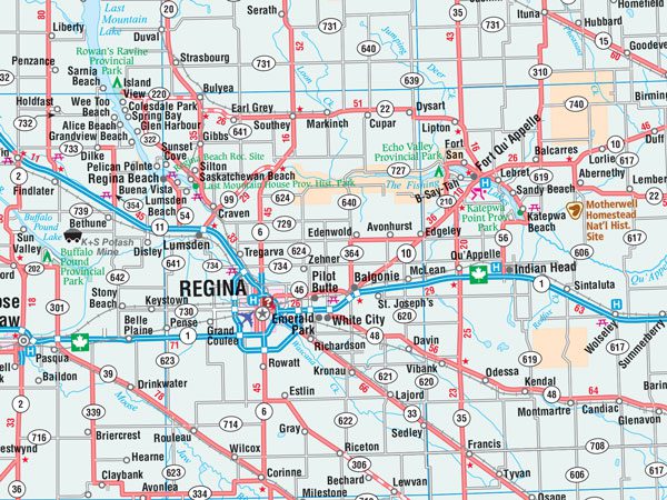
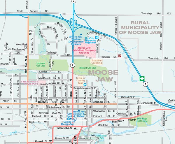
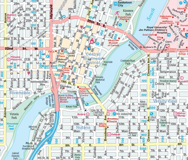
The folded map of Saskatchewan includes a provincial road map of Saskatchewan at 1:1,250,000, municipal maps at 1:50,000 of Battleford, Estevan, Lloydminster, Moose Jaw, North Battleford, Prince Albert, Regina, Saskatoon, Swift Current, Weyburn, Yorkton, downtown maps at 1:25,000 of Regina, Saskatoon and Prince Albert and a Saskatchewan distance chart.
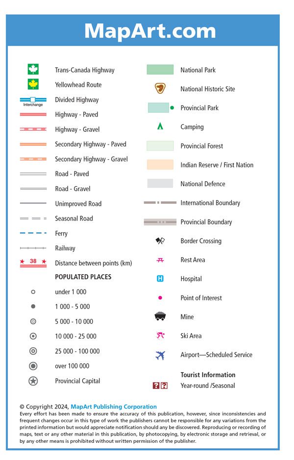
The provincial map features include Trans-Canada highway, Yellowhead Route, divided highway, paved and gravel highways, paved and gravel secondary highways, paved and gravel roads, unimproved roads, seasonal roads, ferries, railways, distance between points (km), populations, provincial capital, national parks, national historic sites, provincial parks, camping, provincial forests, Indian reserves / First Nations, National Defence, international boundaries, provincial boundaries, border crossings, rest areas, hospitals, points of interest, mines, ski areas, airports and tourist information centres.
Dimensions:
Folded: 10.2 x 23.5 cm (4 x 9.25 inches)
Unfolded: 68.6 x 99.7 cm (27 x 39.25 inches)
Edition: 2023
Proudly made in Canada!
Provinces/Territories: Saskatchewan
| Region | |
|---|---|
| Map Type | Paper, Road |
| Brand |