Additional information
| Region | |
|---|---|
| Map Type | Road atlas |
| Brand |
9.95$
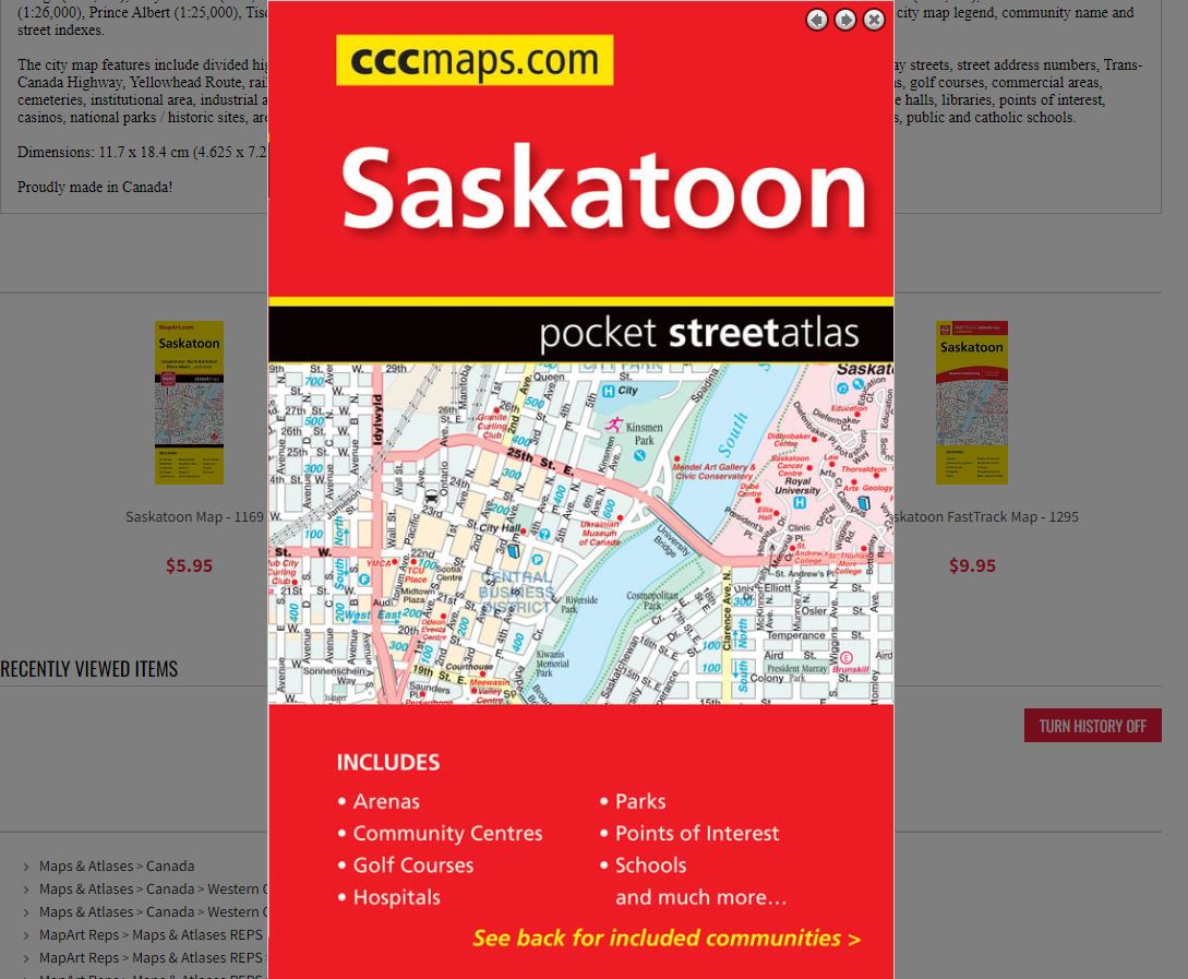
Saskatoon Pocket Street Atlas
0-61158-01075-4
Pocket Atlases pack lots of information in a handy size that easily fits into a purse or pocket.
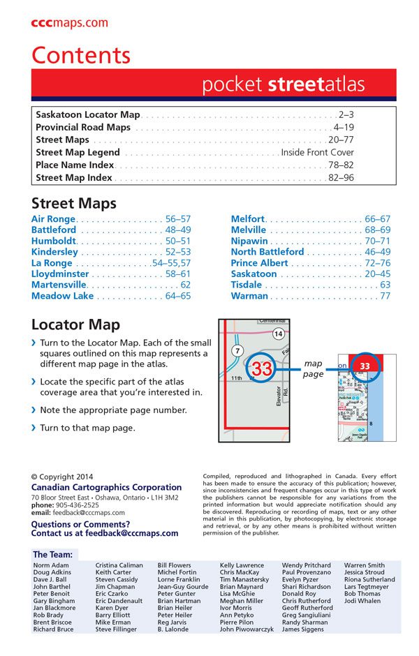
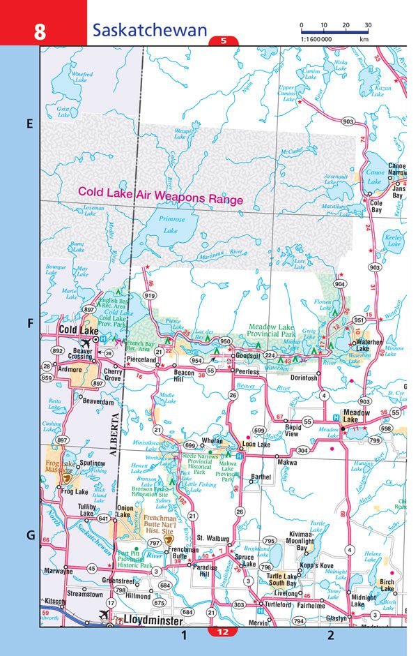
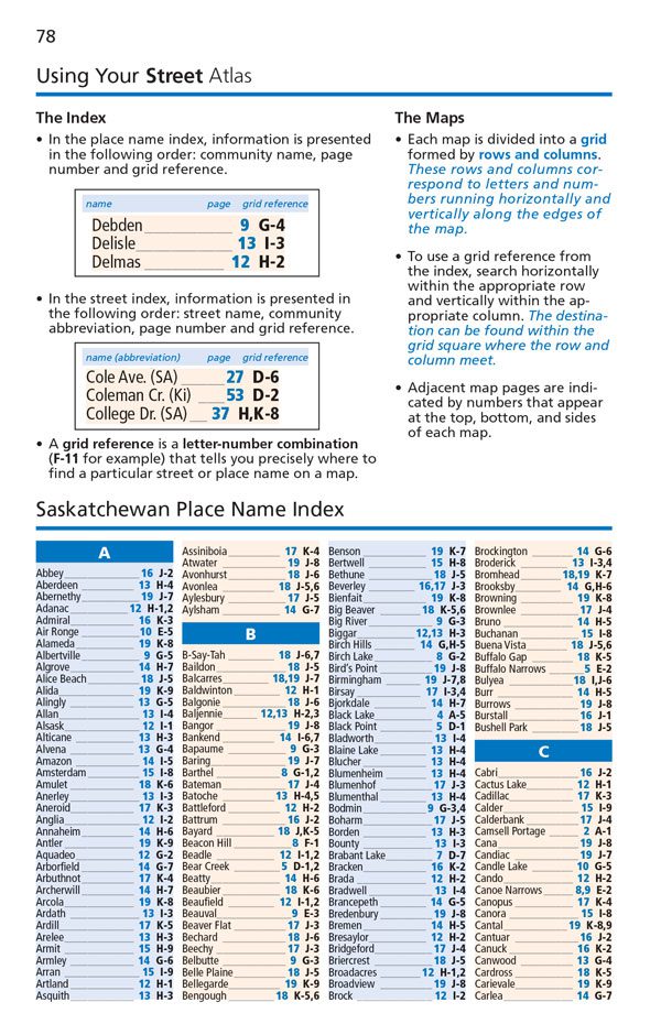
Inside this 96 page pocket atlas you will find detailed city maps of Saskatoon (1:25,000), Air Ronge (1:25,000), Battleford (1:26,000), Humboldt (1:25,000), Kindersley (1:25,000), La Ronge (1:25,000), Lloydminster (1:26,000), Martensville (1:25,000), Meadow Lake (1:25,000), Melfort (1:25,000), Melville (1:25,000), Nipawin (1:25,000), North Battleford (1:26,000), Prince Albert (1:25,000), Tisdale (1:25,000), Warman (1:25,000), Saskatchewan provincial road maps at 1:1,600,000, locator maps, city map legend, community name and street indexes.
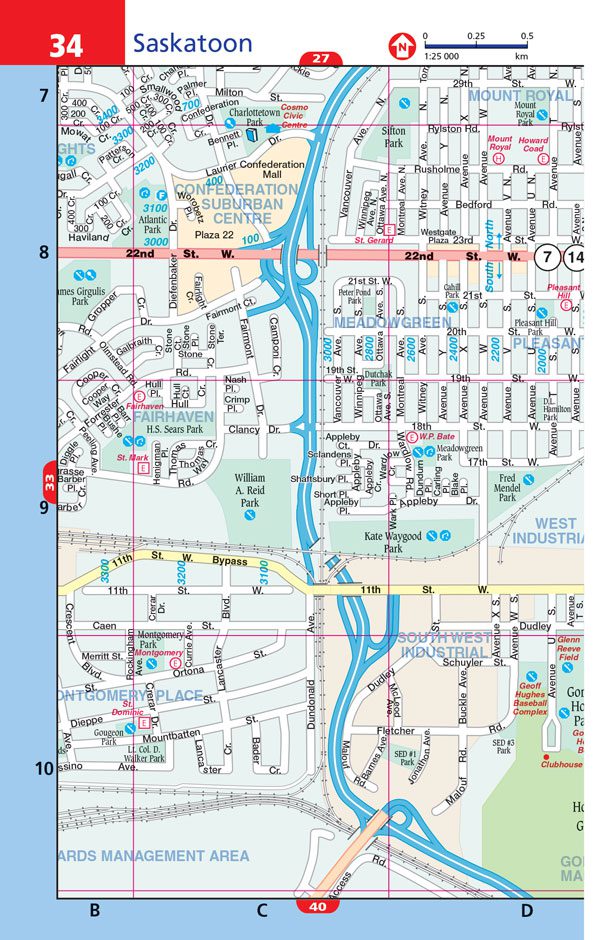
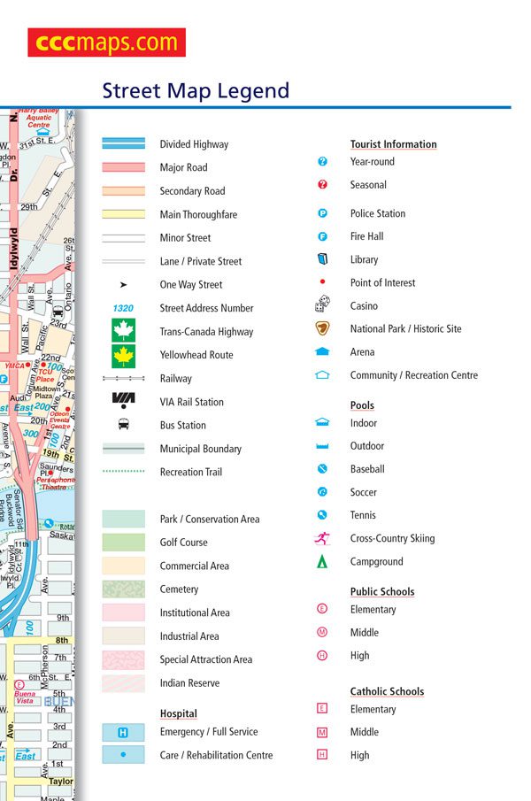
The city map features include divided highways, major roads, secondary roads, main thoroughfares, minor streets, lanes / private streets, one way streets, street address numbers, Trans-Canada Highway, Yellowhead Route, railways, VIA Rail stations, bus stations, municipal boundaries, recreation trails, parks / conservation areas, golf courses, commercial areas, cemeteries, institutional area, industrial areas, special attraction areas, Indian Reserves, hospitals, tourist information centres, police stations, fire halls, libraries, points of interest, casinos, national parks / historic sites, arenas, community / recreation centres, pools, baseball, soccer, tennis, cross-country skiing, campgrounds, public and catholic schools.
Dimensions: 11.7 x 18.4 cm (4.625 x 7.25 inches)
Edition: 2014
Proudly made in Canada!
| Region | |
|---|---|
| Map Type | Road atlas |
| Brand |