South America Wall Map – Political

55.95$

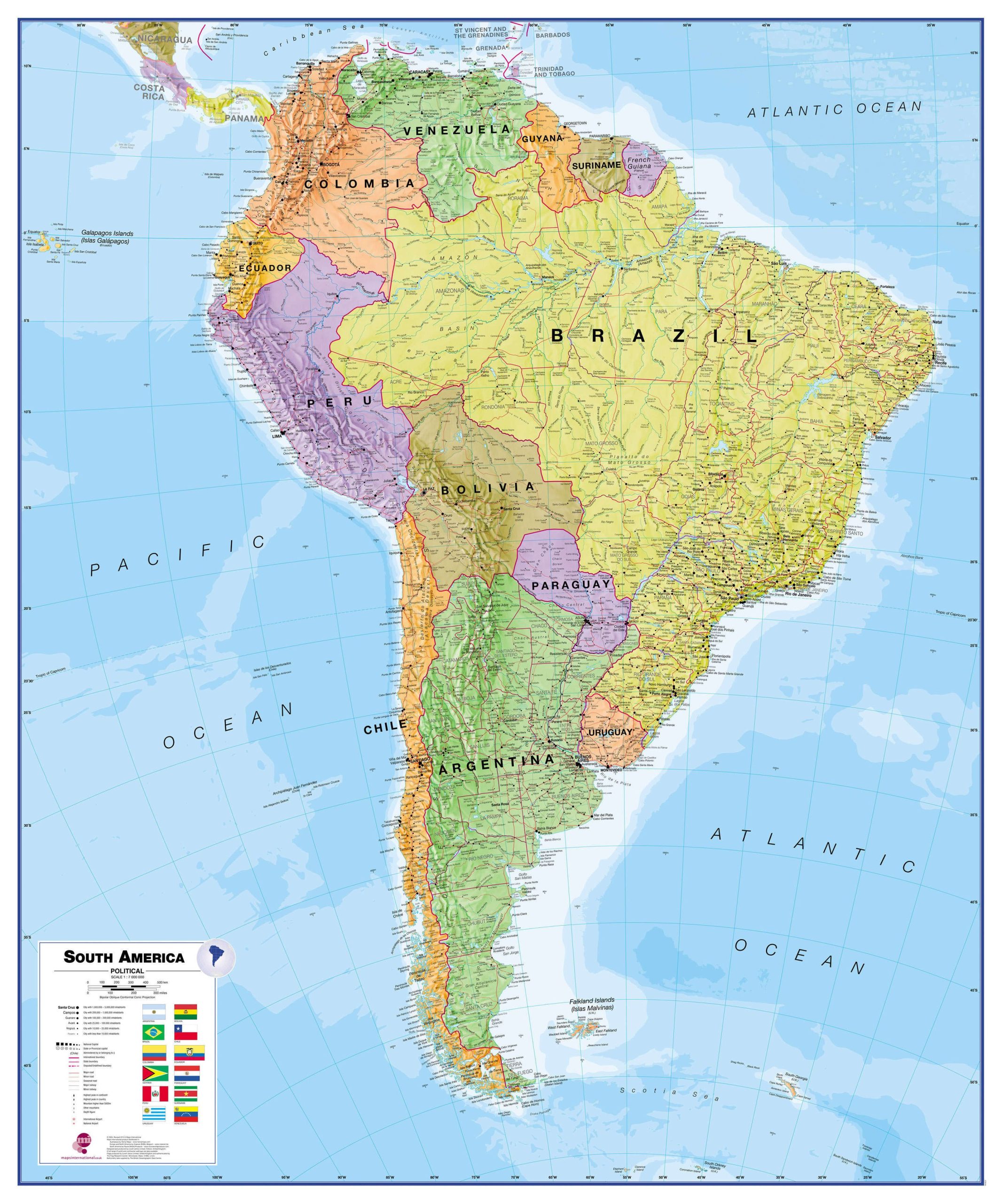
South America Wall Map – Political clearly shows all countries in South America, from Venezuela and the Grenadine Islands down to Argentina and the most southerly point in Chile.

Description:
  • This political wall map of South America displays countries in different colors, with clearly marked international borders.
  • The map’s key shows the flags of the different countries displayed.
  • This South America physical wall map also contains city population details, capital cities and all major towns and cities on the continent.
  • Laminated
  • The map’s shaded relief for land and sea makes it easier to see the mountain ranges. The shaded relief gives it life
Dimensions:
  • 47 1/4 x 39 1/2 in
  • 120 cm X 99 cm
Format:
  • Paper: cheaper but more fragile, Not recommended for schools and children. Best choice for framing or laminating.
  • Laminated: tear-resistant and waterproof. Possibility of writing and erasing on the card using permanent marker or not. The best choice for schools and children.
    Mounting on rigid panel (lamination on wood or foamcore panel): please contact us to obtain an estimate.

Visit our Map Accessories page to maximize your experience with your new South America Wall Map – Political.

Additional information

Brand

Country

, , , , , , , , ,

Language

English