Additional information
| Region | |
|---|---|
| Map Type | Laminated, Road |
| Brand |
7.95$
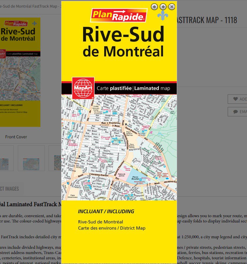
Rive-Sud de Montréal Laminated FastTrack Map
061158011188
Laminated FastTrack maps are durable, convenient, and take all the wear and tear your journey can dish out. The laminated design allows you to mark your route, make notes, then wipe the surface clean for further use. The colour-coded highways and clear exit names make for quick and easy navigation. The map easily folds to display individual sections. This is a must-have for navigation.
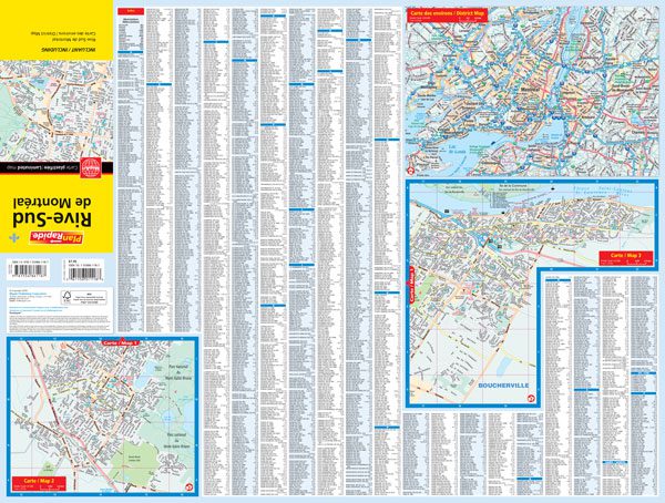
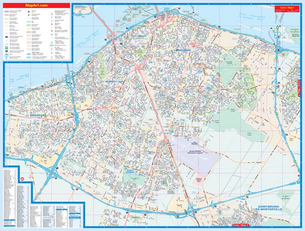
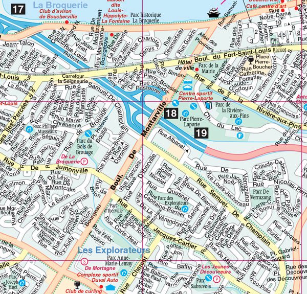
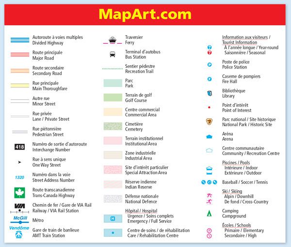
The Rive-Sud de Montréal FastTrack includes detailed city mapping of the area at a scale of 1:27,800, a Montréal district map at 1:250,000, a city map legend and city index.
The detailed city map features include divided highways, major roads, secondary roads, main thoroughfares, minor streets, lanes / private streets, pedestrian streets, interchange numbers, one way streets, street address numbers, Trans-Canada Highway , railways, VIA Rail Stations, Métro, AMT Train Station, ferries, bus stations, recreation trails, parks, golf courses, commercial areas, cemeteries, institutional areas, industrial areas, special attraction areas, Indian Reserves, National Defence, hospitals, tourist information centres, police stations, fire halls, libraries, points of interest, national parks / historic sites, arenas, community / recreation centres, pools, baseball, soccer, tennis, skiing, campgrounds, schools.
Note, for full coverage of the Montréal area consider one of the following products: Montréal & Environs Street Atlas, Montréal folded map or the Montreal Pocket Guide.
Dimensions:
Folded: 11 x 24.8 cm (4.3125 x 9.75 inches)
Unfolded: 65.4 x 49.5 cm (25.75 x 19.5 inches)
Edition: 2018
Proudly made in Canada!