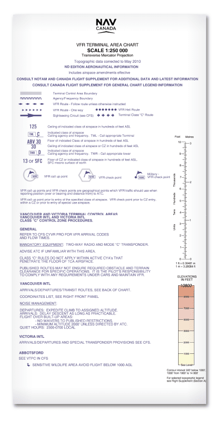
Terminal Area Chart (VTA) – NAV Canada
19.99$ – 29.99$Price range: 19.99$ through 29.99$
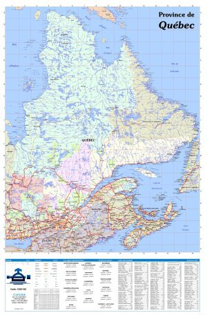
Aeronautical charts. Terminal Area Chart (VTA) – NAV Canada
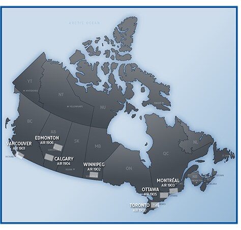
LIST OF AVAILABLE VTA CHARTS (SELECT BELOW)
- AIR1900 – Toronto
- AIR1901 – Vancouver
- AIR1902 – Winnipeg
- AIR1903 – Montreal
- AIR1904 – Calgary
- AIR1905 – Ottawa
- AIR1906 – Edmonton
Purpose
The VTA series of charts is intended for VFR navigation in the terminal area around seven high traffic areas.
It provides for:
- Pre-flight planning:
- 1.1 Drawing track lines and using magnetic variation information to determine track in °M;
- 1.2 Map reconnaissance to locate major features (cities, roads, railways, etc.) for lateral navigation; and
- 1.3 Establishing vertical flight profiles with reference to terrain and obstacle and runways.
- In-flight navigation:
- 2.1 Identifying arrival and departure routes and waypoints;
- 2.2 Determining horizontal position relative to the desired track with reference to ground features;
- 2.3 Determining distances, especially to destination;
- 2.4 Determining vertical position relative to obstacles and terrain; and
- 2.5 Identifying control zones, frequencies and airspace boundaries.
Limitations
This map series is subject to the following limitations:
- Due to the scale of this chart (1:250,000), it should not be used for flight in low ceiling and visibility conditions. As a guide, TC AIM RAC establishes weather minima for control zones as 1,000 feet AGL and 3 miles visibility; use of the 1:250,000 VTA series in such conditions is not advisable.
- Not all obstacles will be shown – it is impracticable to guarantee all obstacles have been included. In general, only obstructions greater than 300 feet AGL or higher are shown as well as known obstructions lower than 300 feet AGL that are considered significant;
- Not all geographical or aeronautical features can be shown; and
- Some aeronautical information may not be current because the chart update interval is one year. Each VTA chart shows, under the title, the date of that edition, the date to which topographical data are corrected and the effective date of airspace amendments. New information (obstructions, restricted and advisory areas, revised control zones, etc.) is advertised by NOTAM or AIP Supplement, then published in the CFS and ultimately incorporated in a chart revision
It is essential that users understand the purpose and limitations of Terminal Area Chart (VTA) – NAV Canada and use it only as intended.
Plastification:
- It is possible to laminate Terminal Area Chart (VTA) – NAV Canada. It makes them waterproof and tearproof.
- Our plastic is thin and flexible. It will be possible to fold the map afterwards.
- Ideal to make the map last longer, to write on the map and erase using permanent marker or non-permanent.