Additional information
| Map Type | Marine |
|---|
99.99$
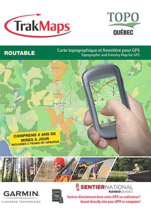
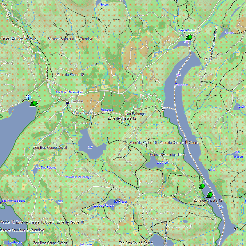
Crown lands – July 2021. Ecoforestry layer – July 2021. National trail in Quebec from Rando Québec – July 2019. Routable road network – June 2019. Recreational territories – February 2020. Indigenous lands – August 2019. ZECs and fishing areas. Routable forest paths. Topographic data including mountains, hills, valleys, lakes, rivers, streams, wetlands. Hiking trails. Canoe-camping course. Detailed shorelines of lakes and rivers. National and provincial parks, wildlife reserves. ATV and snowmobile trails. Outfitters & trappers camps, outdoor reception stations, basic shelters. Boat ramps. Cell towers. Buildings, pylons, power lines, bridges, dams, railways, other landmarks. Navigate safely on the water with depths, contours, points of interest and much more! Last updated: 2020-06-08. Scale: Varied. Product size: 400 MB+ . Sources: Canadian Hydrographic Service, Quebec Ministry of Energy and Natural Resources, TrakMaps
| Map Type | Marine |
|---|