Additional information
| Brand | |
|---|---|
| Map Type | Topo |
149.99$
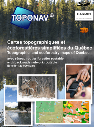
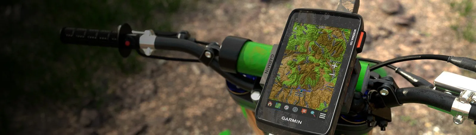
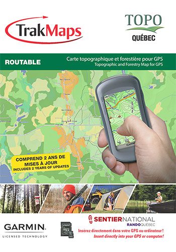
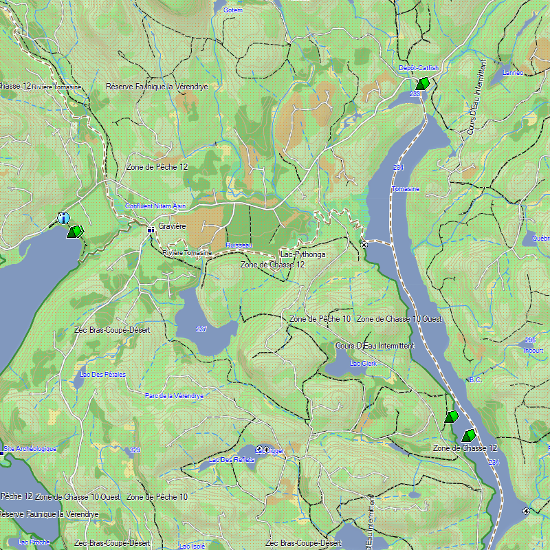
Topo Quebec – Trakmaps for Garmin is the only map of Quebec for GPS with Crown Land and forestry layer.
TOPO Quebec provides you with detailed topographic maps including Crown Land, ecoforestry layer, the National Trail in Quebec from Rando Québec, numerous trails, forest and wilderness areas, water bodies, provincial, regional parks and zecs, power lines and railroad tracks as well as major and secondary roads.
Perfect for hiking, hunting, geocaching, canoeing, kayaking and plenty more!
Shop our Garmin Handheld GPS to pair with your Topo Quebec – Trakmaps for Garmin.
| Brand | |
|---|---|
| Map Type | Topo |