Additional information
| Region | |
|---|---|
| Map Type | Paper, Road |
| Brand |
6.95$
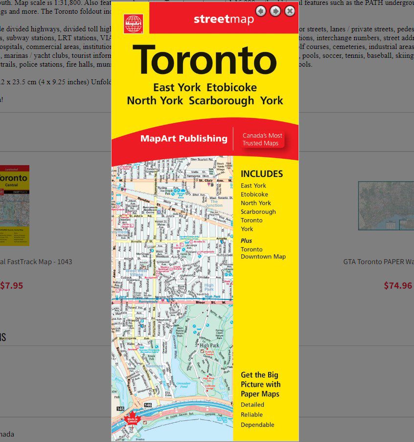
Toronto Folded Map
061158012604
Folded maps have been the trusted standard for years, offering unbeatable accuracy and reliability at a great price. Detailed indices make for quick and easy location of destinations.
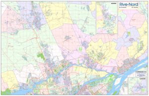
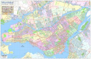
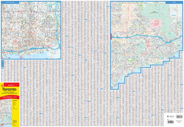
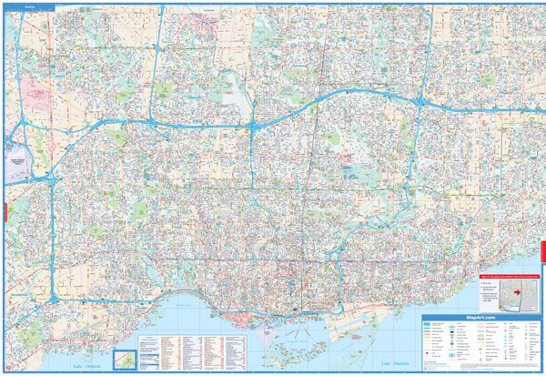
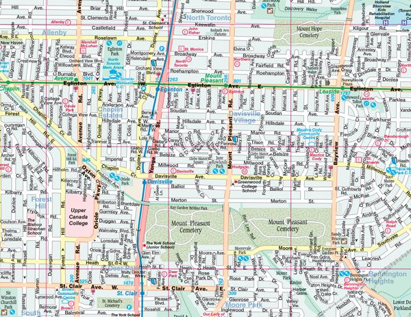
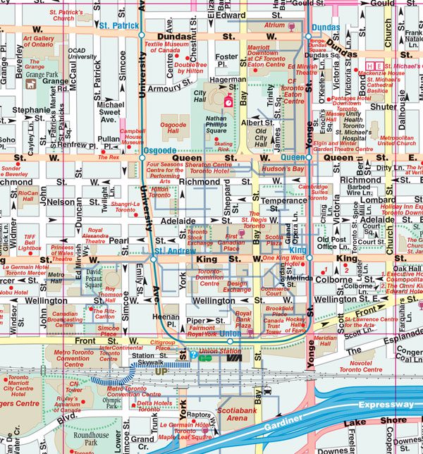
The folded map of Toronto includes detailed city mapping at 1:31,800 of the City of Toronto from highway 427 in the west to Altona Rd in the east, and north from Steeles Ave to the Toronto Islands in the south. Map scale is 1:31,800. Also features a downtown Toronto inset map at 1:15,000 with additional features such as the PATH underground route, points of interest, subway, buildings and more. The Toronto foldout includes a street index, legend and points of interest listing.
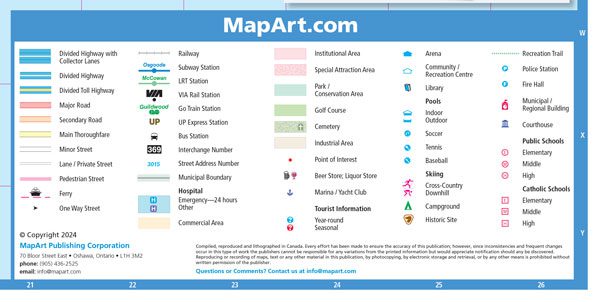
City map features include divided highways, divided toll highways, major roads, secondary roads, main thoroughfares, minor streets, lanes / private streets, pedestrian streets, ferries, one way streets, railways, subway stations, LRT stations, VIA Rail stations, GO Train stations, UP Express stations, bus stations, interchange numbers, street address numbers, municipal boundaries, hospitals, commercial areas, institutional areas, special attraction areas, parks /conservation areas, golf courses, cemeteries, industrial areas, points of interest, beer stores, liquor stores, marinas / yacht clubs, tourist information centres, arenas, community /recreation centres, libraries, pools, soccer, tennis, baseball, skiing, campgrounds, historic sites, recreation trails, police stations, fire halls, municipal /regional buildings, courthouses, public and catholic schools.
Dimensions:
Folded: 10.2 x 23.5 cm (4 x 9.25 inches)
Unfolded: 68.6 x 99.7 cm (27 x 39.25 inches)
Edition: 2021
Proudly made in Canada!