Additional information
| Region | |
|---|---|
| Map Type | Road atlas |
| Brand |
9.95$
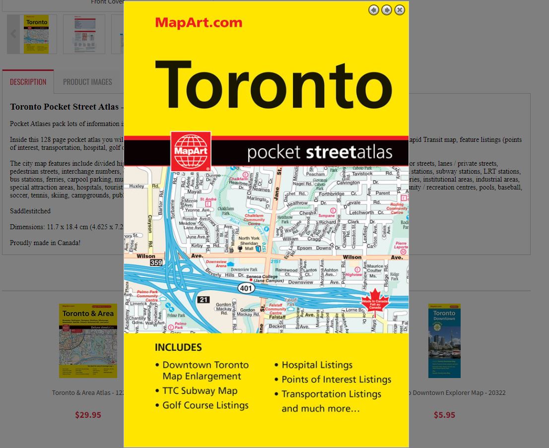
Toronto Pocket Street Atlas
Pocket Atlases pack lots of information in a handy size that easily fits into a purse or pocket.
Inside this 128 page pocket atlas you will find detailed city maps of Toronto at 1:25,000, a downtown Toronto map at 1:15,000, TTC Subway/Rapid Transit map, feature listings (points of interest, transportation, hospital, golf courses), locator maps and a street name index.
The city map features include divided highways with collector lanes, divided highways, major roads, secondary roads, main thoroughfares, minor streets, lanes / private streets, pedestrian streets, interchange numbers, one way streets, street address numbers, railways, VIA Rail stations, Union Pearson Express, GO Train stations, subway stations, LRT stations, bus stations, ferries, carpool parking, municipal boundaries, recreation trails, parks / conservation areas, golf courses, commercial areas, cemeteries, institutional areas, industrial areas, special attraction areas, hospitals, tourist information centres, police stations, fire halls, libraries, points of interest, historic sites, arenas, community / recreation centres, pools, baseball, soccer, tennis, skiing, campgrounds, public and catholic schools.
Saddlestitched
Dimensions: 11.7 x 18.4 cm (4.625 x 7.25 inches)
Proudly made in Canada!
Out of stock