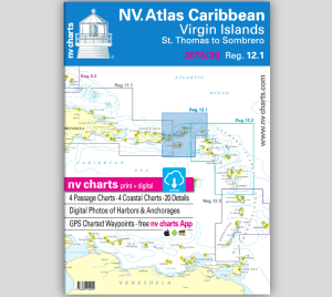
Additional information
| Region | |
|---|---|
| Map Type | Marine, Waterproof |
| Brand |


35.00$
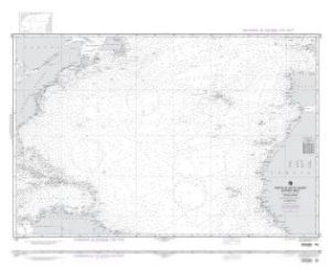
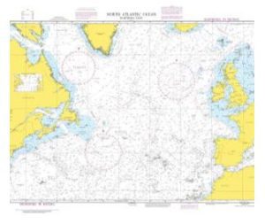
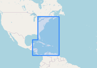
US east coast – NV Pilot 6 marine chart
Plan your trip along the American East Coast with the NV Pilot 6, US East Coast, Maine to Caribbean & Bermuda.
The Pilot 6 is a planning map for the East Coast of the USA. This map also includes the Antilles, Cuba, and the Caribbean Sea.
This foldable map consists of two overview maps:
Map 1, scale 1:1.3 million > Nova Scotia to Miami. Bermuda is included.
Map 2, scale 1:1.3 million > Caribbean Sea with the Bahamas, Antilles, the north coast of South America, Panama, the east coast of Central America to Cancun, and the southern tip of Florida up to and including Fort Myers.
Both maps show the lighthouses and ports of call necessary for passage planning. The North Atlantic currents are marked on the maps with their direction and strength. The usual routes, including distances, are shown as course lines. The labels are in English. The map is in A1 format, approximately 15 x 30 cm when folded.
Our recommendation:
For Florida and the Caribbean islands, we recommend our detailed paper and digital atlases so you’re perfectly equipped for your trip to these beautiful regions!
| Region | |
|---|---|
| Map Type | Marine, Waterproof |
| Brand |