Additional information
| Region | |
|---|---|
| Map Type | Paper, Road |
| Brand |
5.95$
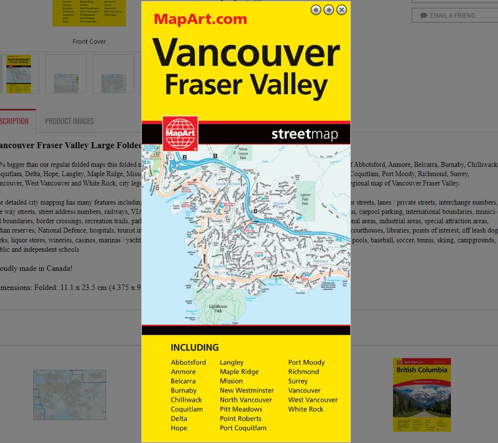
Vancouver Fraser Valley Large Folded Map
061158010549
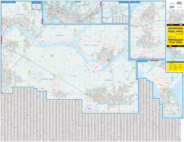
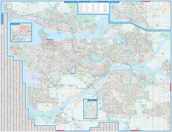
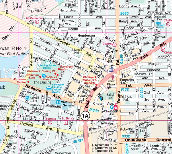
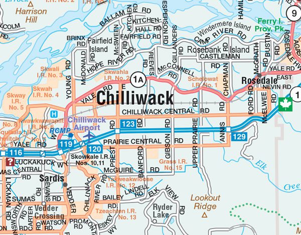
73% bigger than our regular folded maps this folded map of Vancouver Fraser Valley includes detailed city mapping at 1:38,000 of Abbotsford, Anmore, Belcarra, Burnaby, Chilliwack, Coquitlam, Delta, Hope, Langley, Maple Ridge, Mission, New Westminster, North Vancouver, Pitt Meadows, Point Roberts, Port Coquitlam, Port Moody, Richmond, Surrey, Vancouver, West Vancouver and White Rock, city legend and city street indexes, a downtown Vancouver map at 1:20,000, and a regional map of Vancouver Fraser Valley.
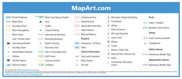
The detailed city mapping has many features including divided highways, major roads, secondary roads, main thoroughfares, minor streets, lanes / private streets, interchange numbers, one way streets, street address numbers, railways, VIA Rail stations, SkyTrain stations, West Coast Express stations, ferries, SeaBus, carpool parking, international boundaries, municipal boundaries, border crossings, recreation trails, parks / conservation areas, golf courses, commercial areas, cemeteries, institutional areas, industrial areas, special attraction areas, Indian reserves, National Defence, hospitals, tourist information centres, police stations, fire halls, municipal / regional buildings, courthouses, libraries, points of interest, off leash dog parks, liquor stores, wineries, casinos, marinas / yacht clubs, national parks / historic sites, arenas, community / recreation centres, pools, baseball, soccer, tennis, skiing, campgrounds, public and independent schools
Dimensions:
Folded: 11.1 x 23.5 cm (4.375 x 9.25 inches)
Unfolded: 121.9 x 94 cm (48 x 37 inches)
Edition: 2021
Proudly made in Canada!
Out of stock
| Region | |
|---|---|
| Map Type | Paper, Road |
| Brand |