Additional information
| Region | |
|---|---|
| Brand |
9.95$
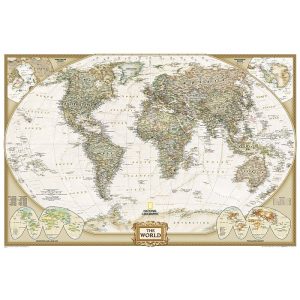
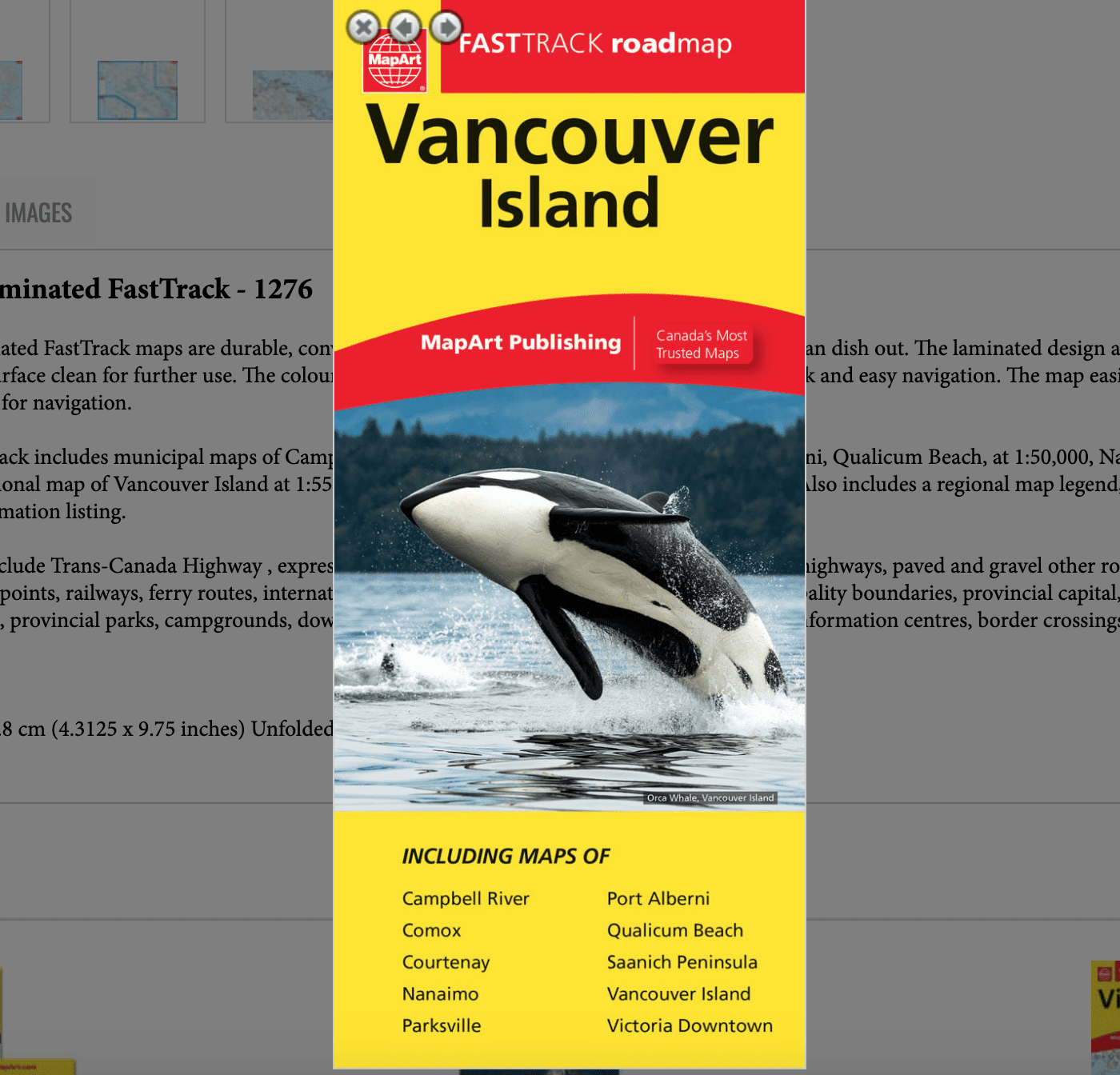
Vancouver Island Laminated FastTrack
The Vancouver Island Laminated FastTrack maps are durable, convenient, and take all the wear and tear your journey can dish out. The laminated design allows you to mark your route, make notes, then wipe the surface clean for further use. The colour-coded highways and clear exit names make for quick and easy navigation. The map easily folds to display individual sections. This is a must-have for navigation.
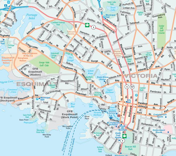
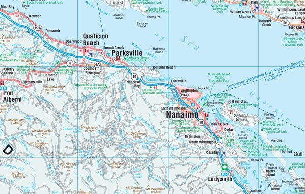
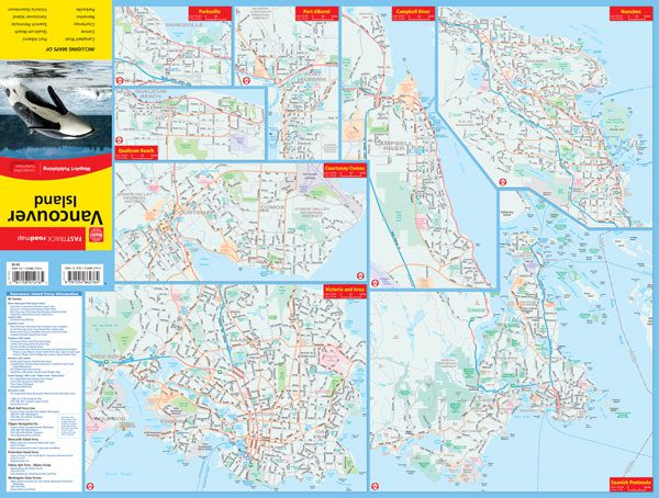
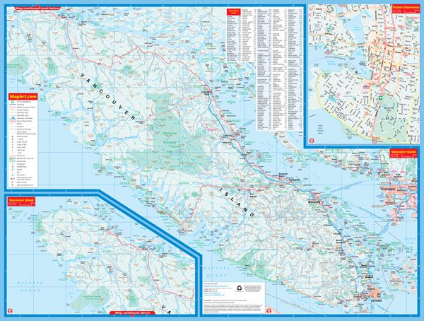
The Vancouver Island FastTrack includes municipal maps of Campbell River, Comox, Courtenay, Parksville, Port Alberni, Qualicum Beach, at 1:50,000, Nanaimo at 1:62,500, Saanich Peninsula at 1:170,000, a regional map of Vancouver Island at 1:550,000, and a map of downtown Victoria at 1:15,000. Also includes a regional map legend, community name index and Vancouver Island ferry information listing.
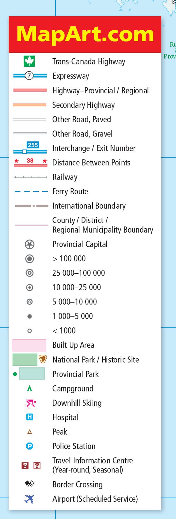
The regional map features include Trans-Canada Highway , expressways, provincial and regional highways, secondary highways, paved and gravel other roads, interchanges / exit numbers, distances between points, railways, ferry routes, international boundaries, county / district / regional municipality boundaries, provincial capital, populations, built up areas, national parks / historic sites, provincial parks, campgrounds, downhill skiing, hospitals, peaks, police stations, travel information centres, border crossings, airports.
Proudly made in Canada!
Edition: 2023
Dimensions:
Folded: 11 x 24.8 cm (4.3125 x 9.75 inches)
Unfolded: 65.4 x 49.5 cm (25.75 x 19.5 inches)
| Region | |
|---|---|
| Brand |