Additional information
| Region | |
|---|---|
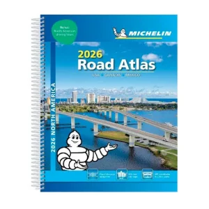
| Map Type | Road atlas |
| Brand |
9.95$
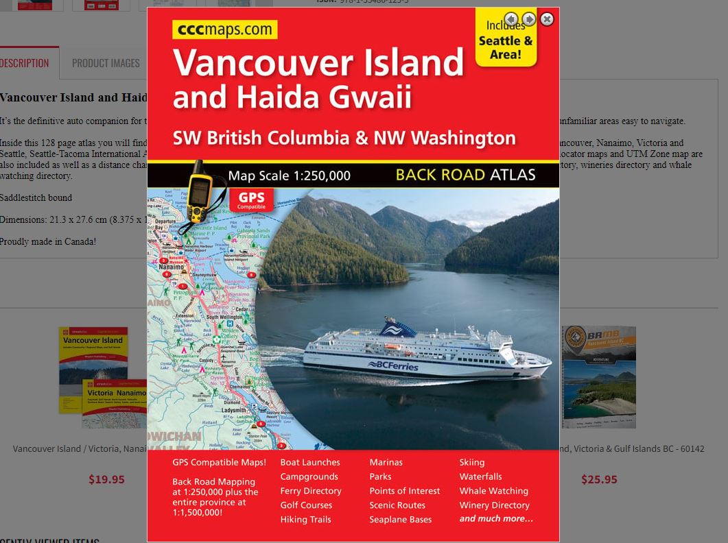
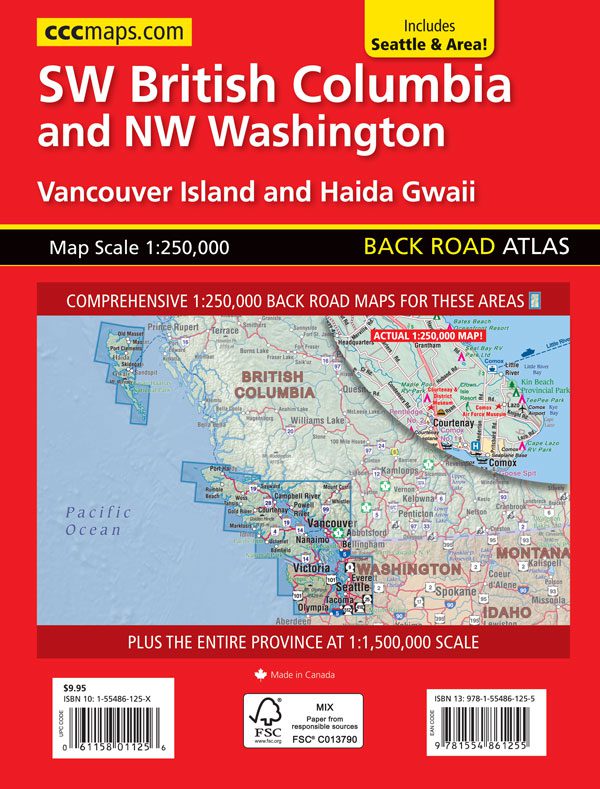
Vancouver Island and Haida Gwaii Atlas
0-61158-01125-6
It’s the definitive auto companion for travel in this area, whether you are a resident or short-term visitor. It’s got all the features to make even the unfamiliar areas easy to navigate.
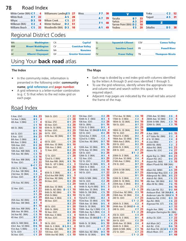
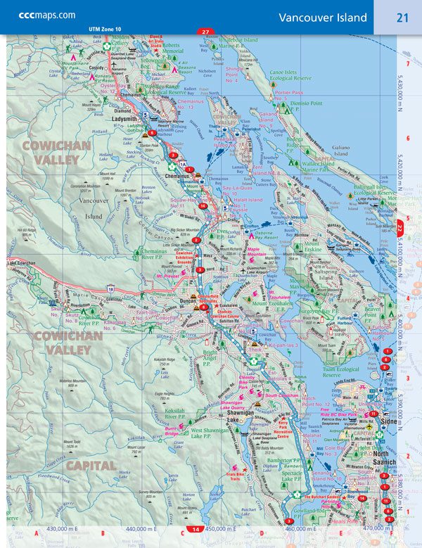
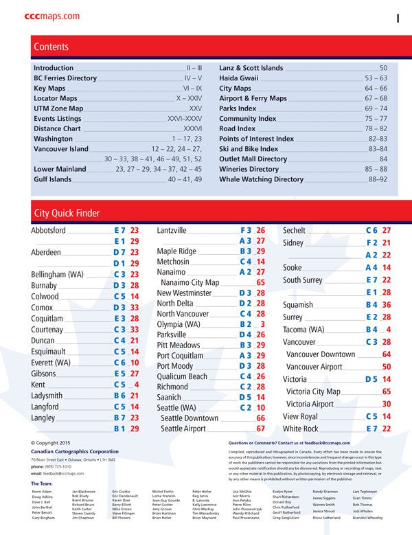
Inside this 128 page atlas you will find back road maps at 1:250,000 of Vancouver Island and Haida Gwaii, downtown city maps at 1:25,000 of Vancouver, Nanaimo, Victoria and Seattle, Seattle-Tacoma International Airport map (1:40,000), ferry maps at 1:40,000 of Swartz Bay, Tswawassen and Horseshoe Bay. Key maps, locator maps and UTM Zone map are also included as well as a distance chart and indexes of parks, community names, road names, ski’s & bikes, points of interest, an outlet mall directory, wineries directory and whale watching directory.
Saddlestitch bound
Dimensions: 21.3 x 27.6 cm (8.375 x 10.875 inches)
Edition: 2015
Proudly made in Canada!
Out of stock
| Region | |
|---|---|
| Map Type | Road atlas |
| Brand |