Additional information
| Region | |
|---|---|
| Map Type | Paper, Road |
| Brand |

5.95$
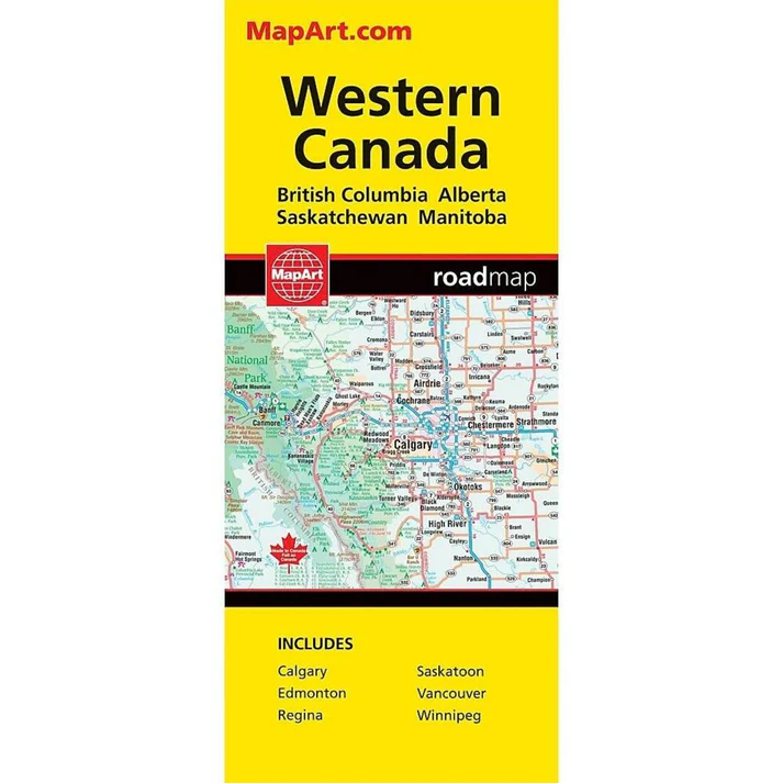
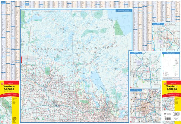
Western Canada Map
066770202488
Folded maps have been the trusted standard for years, offering unbeatable accuracy and reliability at a great price. Detailed indices make for quick and easy location of destinations. It’s a must-have for anyone travelling, working and living in western Canada.
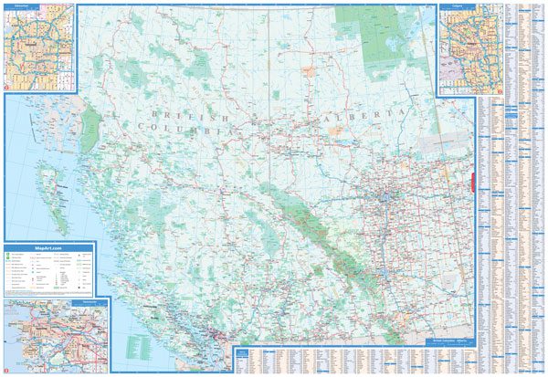
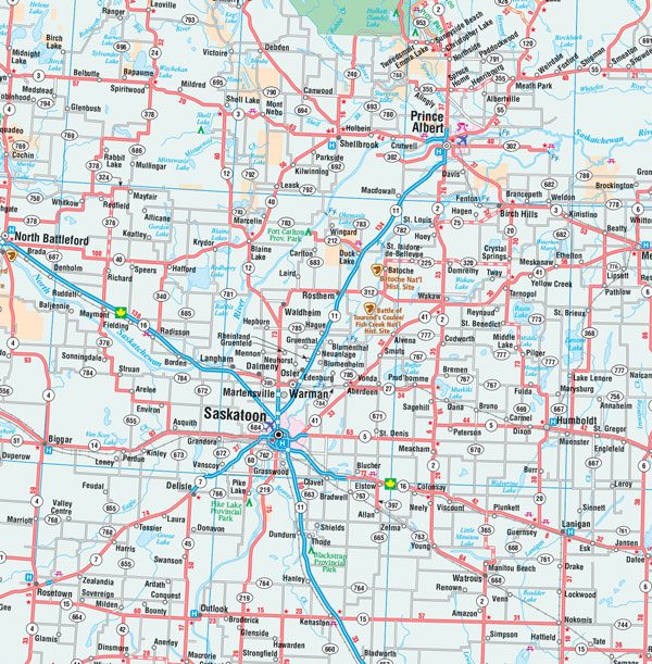
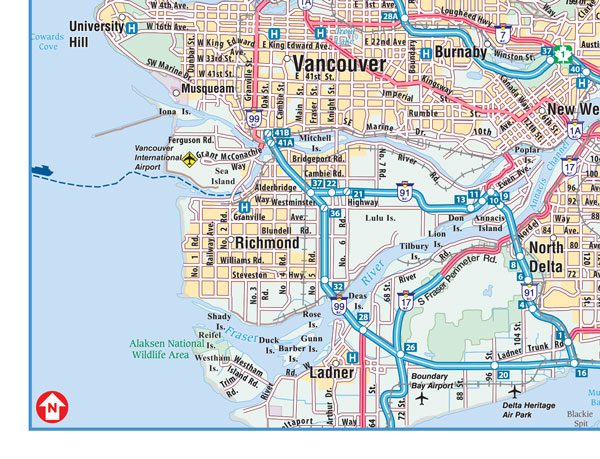
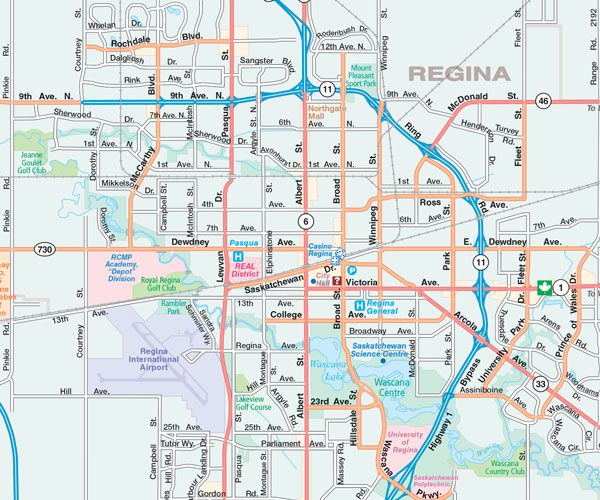
The Western Canada folded map includes detailed provincial mapping of British Columbia, Alberta, Saskatchewan and Manitoba at 1:2,000,000, community name index for each province, municipal maps of Regina and Saskatoon at 1:100,000 and regional maps at 1:250,000 of Calgary, Edmonton, Vancouver and Winnipeg.
The detailed provincial map features include Trans-Canada highway, Yellowhead Route , divided highways, paved and loose surface main highways, paved and loose surface secondary roads, paved and loose surface other roads, seasonal roads, unimproved/forestry roads, railroads, distance between two points, ferries, customs, airports, hospitals, tourist information centres, rest areas/service centres, Indian reserves, National Defence , international boundaries, provincial boundaries, time zone boundaries, elevations, populations, capitals, national parks, national historic sites, provincial parks, wilderness areas, forest reserves, campgrounds, icefields, skiing, points of interest, mines and more.
Proudly made in Canada!
Dimensions:
Folded: 10.2 x 23.5 cm (4 x 9.25 inches)
Unfolded: 68.6 x 99.7 cm (27 x 39.25 inches)
| Region | |
|---|---|
| Map Type | Paper, Road |
| Brand |