Additional information
| Region | |
|---|---|
| Country | |
| Map Type | Marine, Waterproof |
| Brand |
15.95$
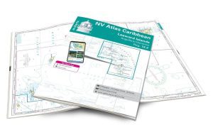
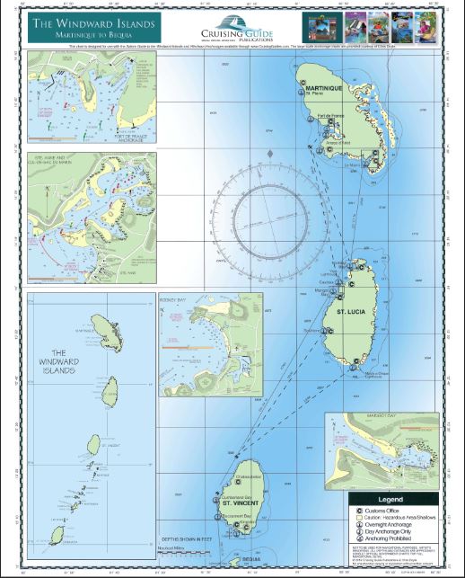
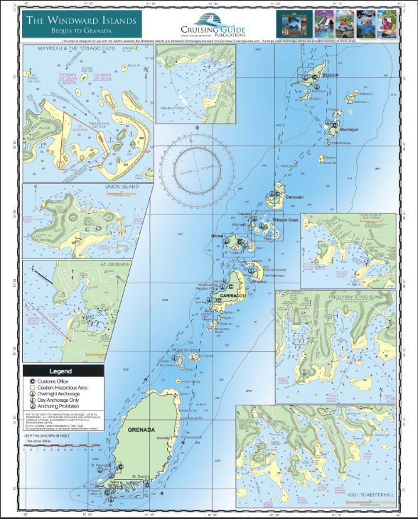
Windward Islands – Nautical Chart The Cruising Guides
Printed on both sides, this new folded chart includes the Windward Islands: Martinique, Saint Lucia, Saint Vincent and the Grenadines, and Grenada.
It shows anchorages and moorings, as well as GPS coordinates, sailing routes, and distances between waypoints. This waterproof chart is ideal for the cockpit and attractive enough to hang on the wall once it’s back in the house.
Designed for use with the guidebook, this planning chart is a duplicate of the one you receive free with the guidebook.
17.5″ x 21.5″
| Region | |
|---|---|
| Country | |
| Map Type | Marine, Waterproof |
| Brand |