Additional information
| Region | |
|---|---|
| Map Type | Digital, Marine, Waterproof |
| Brand | |
| Country |

144.95$
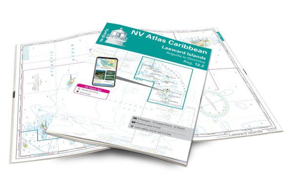
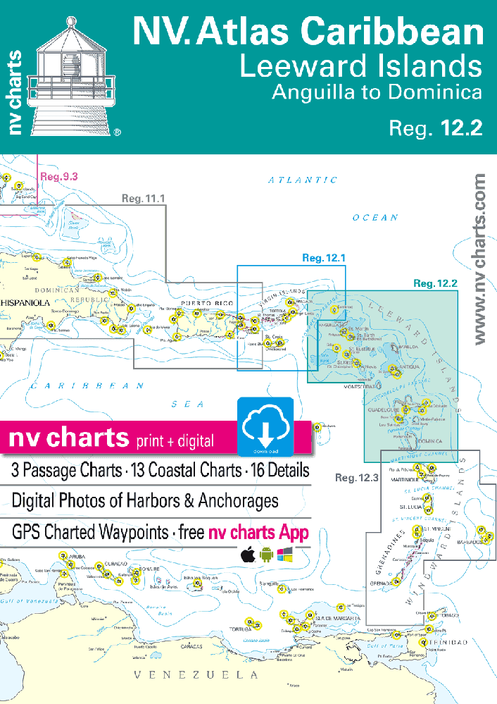
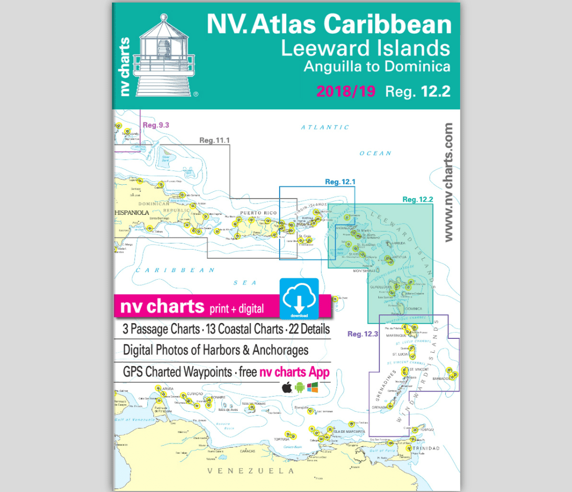
Leeward Islands – NV Charts Paper and Digital Nautical Atlas
With the NV Charts Caribbean 12.2 Atlas, you have the ideal companion for the Leeward Islands from Anguilla to Dominica at your side. Thanks to its clear structure, you’ll quickly find access points, ports, and anchorages and be informed of important navigational details, which also appear in the NV Charts app. The map impresses with its optimal dimensions and balanced cross-sections.
The Leeward Islands are part of the Lesser Antilles and stretch from Anguilla in the north to Dominica in the south. They offer an impressive blend of breathtaking landscapes, rich culture, and perfect sailing conditions.
Each island has its own unique and beautiful beaches (e.g., Shoal Bay on Anguilla and Pinney’s Beach on Nevis). The underwater world of the Leeward Islands is truly breathtaking—the marine reserve around Saba and the Jacques Cousteau Reefs off Guadeloupe are just two highlights. If you’re more interested in historical sites than diving, visit Brimstone Hill Fortress in St. Kitts, Nelson’s Dockyard in Antigua, or Fort Louis in Marigot, St. Maarten! Hike to the active volcano of Soufrière Hills in Montserrat or explore Morne Trois Pitons National Park in Dominica.
Tip: NV Charts Caribbean 12.1 allow you to explore the Virgin Islands to the west. The NV Charts Caribbean 12.3 Atlas includes the Windward Islands further south.
9783932414541
These other products will be a great companion to the atlas.
| Region | |
|---|---|
| Map Type | Digital, Marine, Waterproof |
| Brand | |
| Country |