Additional information
| Region | |
|---|---|
| Map Type | Laminated |
| Brand |
35.00$
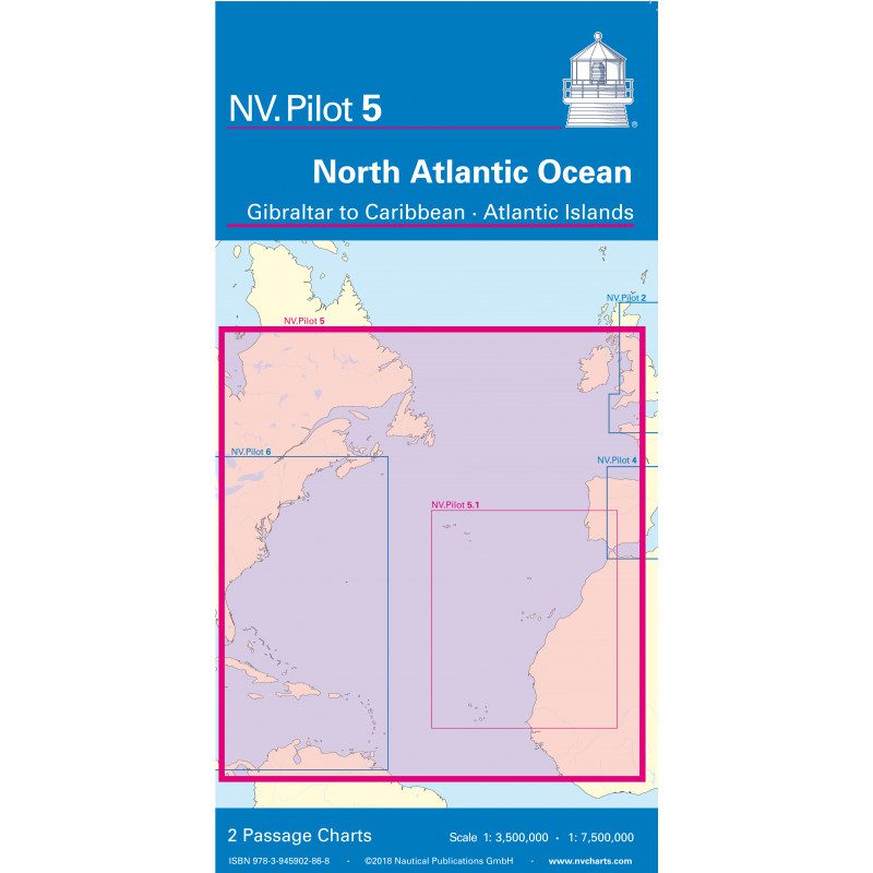
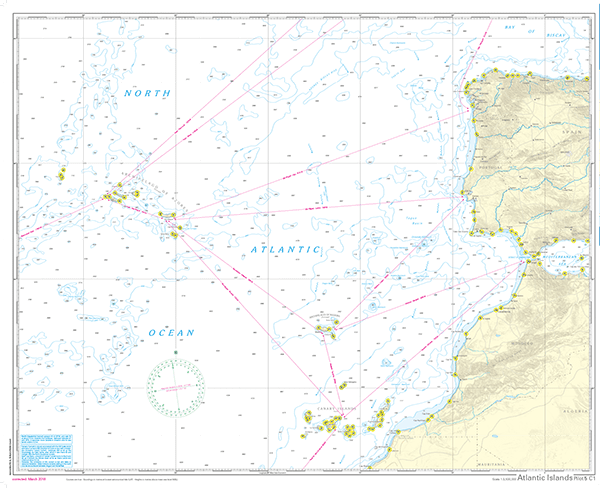
The NV Charts Pilot 5 is a folding chart that you absolutely need for planning a transatlantic passage. It covers the west coast of Spain, Portugal, Morocco, and the Canary Islands. On the other side, you’ll find the east coast of Canada and the United States, as well as Cuba and the Caribbean.
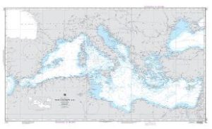
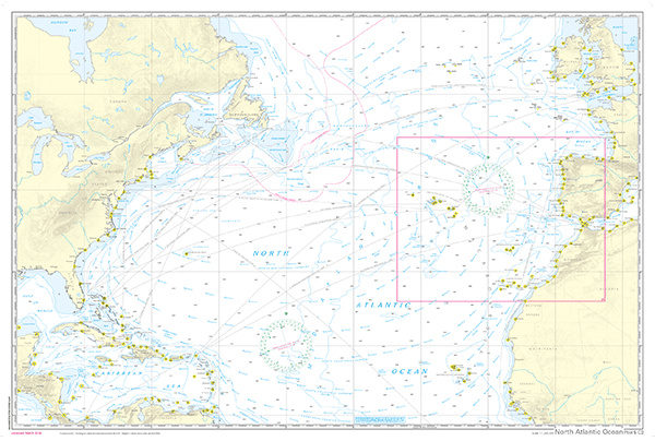
This folding chart includes two overview maps. Map 1, Scale 1:1.35 million > The eastern coast of the Atlantic Ocean, from La Coruña to the Canary Islands and the Azores
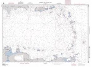
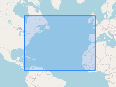
Map 2, Scale 1:1.75 million > The entire North Atlantic from 10° to 53.5° North, including the Caribbean Sea, the West Indies, the eastern coast of North America to Newfoundland, and the Atlantic coast of Europe and Africa from Ireland to Sierra Leone
Both maps include the markings and ports of call necessary for passage planning.
The Atlantic currents are also shown on the maps, along with their directions and strengths, and are supplemented by brief explanations. Typical routes, including distances, are noted on one side as course lines; on the other, connections are shown as great circles.
The designations are in English. A1 map, folded to approximately 15 x 30 cm.
Our recommendation:
To plan a trip across the Atlantic in more detail, we recommend the ATL3. This atlas, available in both paper and digital formats, is the ideal companion for traveling from Europe to America (or vice versa, of course)!
| Region | |
|---|---|
| Map Type | Laminated |
| Brand |